|
UNALAKLEET
PHOTOGRAPH ALBUM
|
|
Designed by Patricia Partnow
Indian Education Program
Anchorage School District
May, 1984
|
|
Photographs courtesy of:
Alaska Department of Community and Regional Affairs
National Park Service:
M. Woodbridge Williams
Ostermick
Pete Sanchez
|
 |
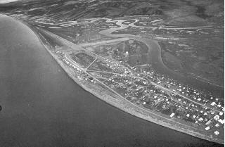
| Flying in from Anchorage. This is our first view of Unalakleet.
We're flying over the river. Norton Sound is beyond the city of
Unalakleet. |
 |
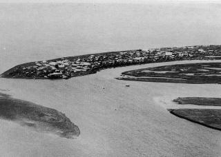
| We circle the point to land. Now we're over Norton Sound. We
can see the Kouwegok Slough behind town and the mountains in the
distance. |
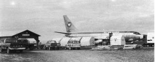 |
| Our jet just in from Anchorage. Lots of cargo comes in by plane. |
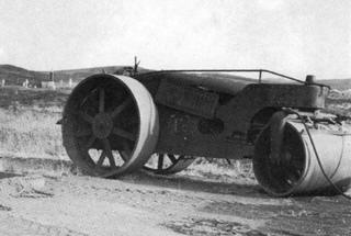 |
| A roller during a work break. This is by the airport. The cemetery
is in the background. |
 |
|
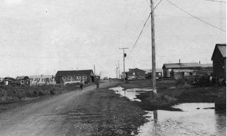
This is Main Road, the main street in town. We're on our way
from the airport to town.
There are both electricity and telephones in Unalakleet. Most
houses are modern wooden houses. There are also some beautiful
log houses.
|
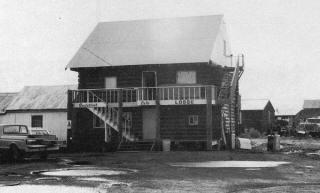 |
| The lodge. If you have relatives or friends in town, you would
probably stay with them. Otherwise, the lodge is where you would
stay. |
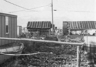 |
| A garden. Many people have gardens in Unalakleet. They grow
potatoes, carrots, lettuce, and other vegetables. |
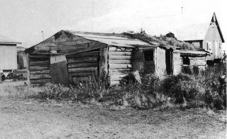 |
| This is an old abandoned log house that no one lives in anymore.
Logs for houses are sometimes brought by boat downriver from the
nearby forests. Sometimes people use driftwood logs collected
from the beach. |
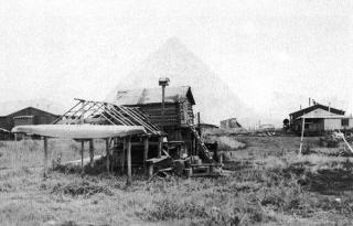 |
| The upside-down boat is a skin-covered kayak, and is still used.
People use mostly wooden boats nowadays, though. A cache for storing
food is behind the kayak. |
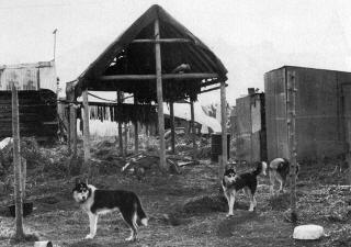 |
| There are lots of dogs in Unalakleet. Each one has its own area
of the yard. Fish are drying on the rack in the background. Some
of them may be used as dog food. |
 |
| The Covenant High School. |
 |
| The Frank A. Degnan Elementary and High School. |
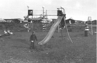 |
| The playground by the elementary school. |
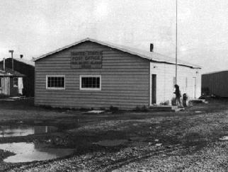 |
| The post office. Mail comes and goes by plane. |
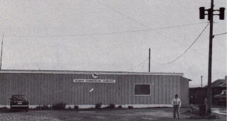 |
| The Alaska Commercial Company Store. This is one of the two
main stores in town. |
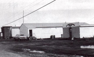 |
| This is the Unalakleet Native Store, where food and hardware
are sold. |
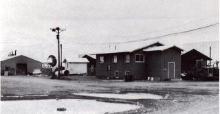 |
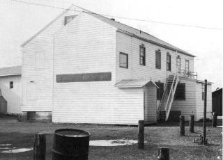
| The Municipal Building, where the local government has its offices. |
 |
| The big round thing in the background is the water tank. It
holds water for the whole city. |
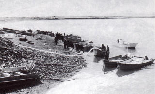 |
| The beach on the Unalakleet River where fishermen bring in small
boats. The long hose is like a giant vacuum cleaner that sucks
the fish into buckets. The buckets are then emptied in the cannery.
There the fish are prepared for sale. |
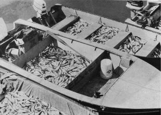 |
| Here's what's in the boats: thousands of herring! |
 |
|
Salmon fishermen use bigger boats to go out in Norton Sound.
Wind and wavers sometimes make the Sound very rough.
The fish are caught in big nets. You can see one bunched up
on the ground near the back of the boat. Those white oval things
are rubber buoys that float. They keep the top of the net from
sinking.
|
 |
|
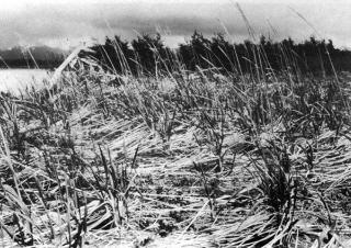
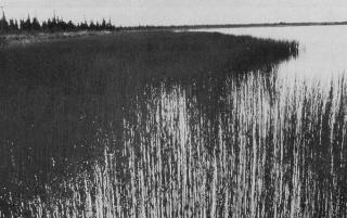
Unalakleet is on the shore. This picture shows some beach grass,
which grows above high tide line.
Photograph by:
M. Woodbridge Williams
National Park Service
|
 |
|
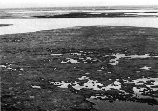
Wet and moist tundra looks like this. You can
see the river in the background.
Photograph by:
Ostermick
National Park Service
|
 |
|
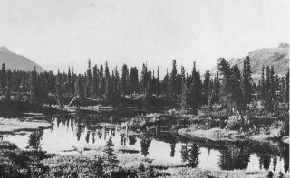
Freshwater ponds are scattered around the area. Moose like
to come here to eat the water plants. These plants are horsetails.
Photograph by:
Pete Sanchez
National Park Service
|
 |
|
As you go away from the beach and toward the mountains, you
begin to see trees. These are spruce. Musket bogs are low areas
within the forest. You can see one in the foreground.
Photograph by:
Pete Sanchez
National Park Service
|
 |
|
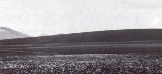
The mountains are east of Unalakleet. Above treeline, lichens,
grasses, and berries grow. This is called "Alpine Tundra".
Photograph by:
M. Woodbridge Williams
National Park Service
|
|