Alaska Regional Profiles
Southcentral Region

Introduction

Purpose
Description of Planning Units

Regional Setting

Climate

Statewide Climate
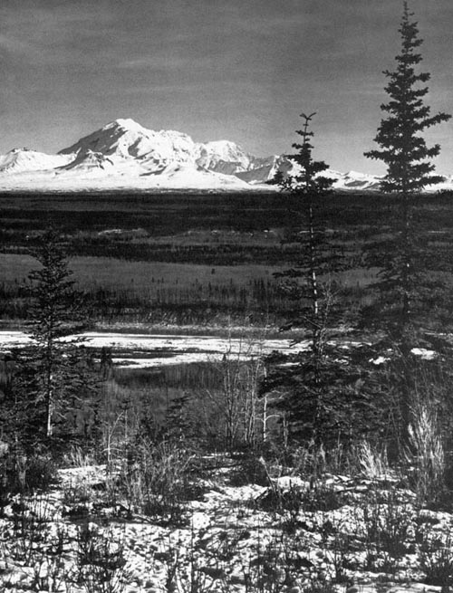
Southcentral Climate

Marine Environment

Sea Ice
Tidal Action

Topography

Kodiak-Shelikof Subregion
Cook Inlet Subregion
Copper River-Gulf of Alaska Subregion

Earthquakes

Introduction
The March 1964 Earthquake
Land Movements
Seismic Sea Waves (Tsunami)
Conclusion

Volcanism

Soils

Kodiak-Shelikof Subregion
Cook Inlet Subregion
Copper River-Gulf of Alaska Subregion


Aquatic Animals

Descriptive Legend of Vegetative Types

Coastal Western Hemlock-Sitka Spruce Forest
Bottomland Spruce-Poplar Forest
Upland Spruce-Hardwood Forest
Lowland Spruce-Hardwood Forest
High Brush
Low Brush Bog and Muskeg
Moist Tundra
Wet Tundra
Alpine Tundra

Terrestrial Animals

Kodiak-Shelikof Subregion
Cook Inlet Subregion
Copper River-Gulf of Alaska Subregion


[ Alaskool Home ]

[ Regional Profiles Index ]

Marine

Neritic habitat
Unprotected Open Coast
Protected Open Coast
Protected Fjord Coast
Cook Inlet Estuarine Embayment Complex
Coastal Tidelands, Saltmarshes, and Wet Shorelands

Fresh Water

Kenai-Susitna Wetlands
Copper River Delta
Nelchina Wetlands
Copper River System
Karluk River System
Chignik River System

The People

History
Population
Alaska Native Claims Settlement Act

Bibliography